![shutterstock_520874116-[Converted] shutterstock_520874116-[Converted]](https://winstonaeronautics.com/wp-content/uploads/bb-plugin/cache/shutterstock_520874116-Converted-landscape-532f5a8921c93672c74a70ec3d6e378b-5a4c30d465552.jpg)
3D Modeling
Let Winston Aeronautics provide your organization with better visual representation of your project. We can create 3D models, which are helpful for planning, detecting errors and making changes before change requests become too costly to implement. Our 3D models will ensure that you get a clear visual representation of your project at each phase of its critical path.

Advertising and Marketing
Do you have a product to sell? Let us help you increase visibility and interest. With our experience in aerial videography and photography, we can showcase your product from different perspectives; this can be especially beneficial to developers, realtors, and event and concert organizers.

Geothermal Imaging
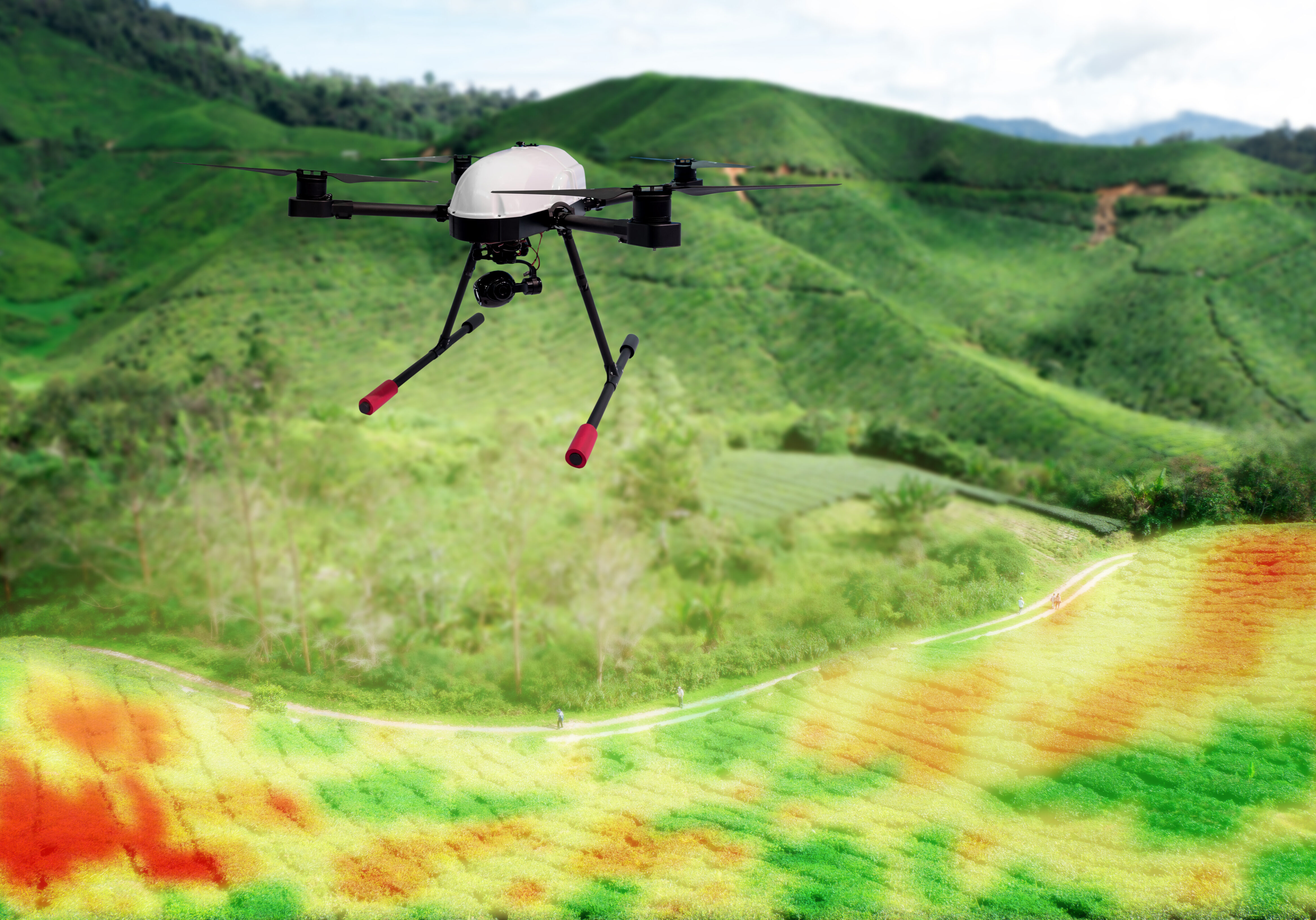
With infrared cameras, Winston Aeronautics can provide data and thermo imagery of building structures, holding/storage tank level, gas leaks and air quality. Oil and gas leaks show up better in infrared because of temperature differences between fluid and empty areas. Sources of hydrocarbons and gas leaks can also be easily detected. Our UAV’s can be outfitted with infrared camera which is the most economical alternative for these types inspections.

Areal Measurements
Our state of the art technology allows us to take aerial measurements of stockpiles to ensure the right amount of distance or spacing is adhered to during construction. Provide clarity on Land legal descriptions, ROW’s (Right of Way) and Plats. Providing clarity to your engineering and land groups.