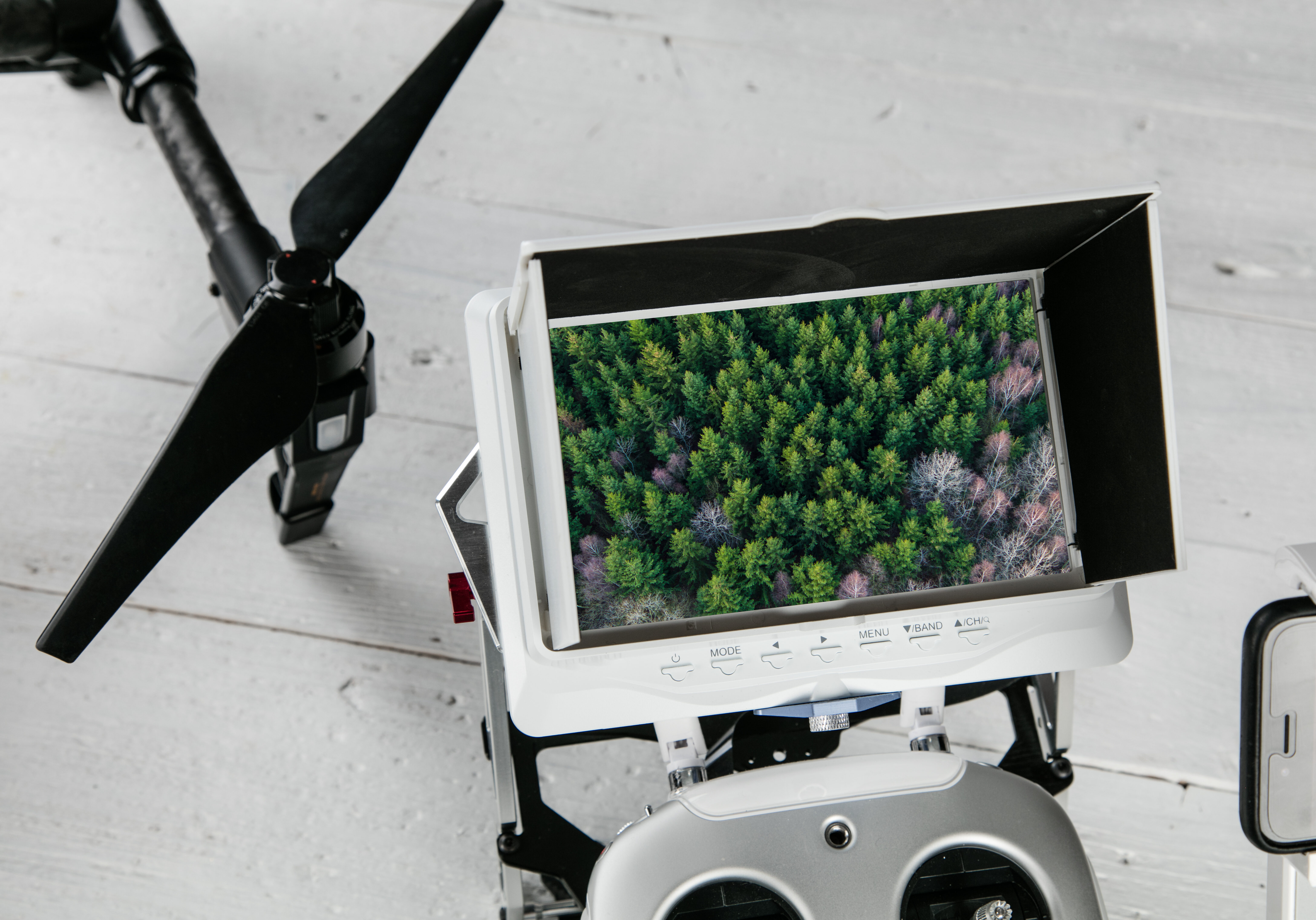
We can take surveys of large landmass within short periods of time, along with our mapping capability we can also provide your organization with aerial photography of land measurements.

Right of Way Services
With turn-key solutions for mapping, our company can provide land surveys. We provide high quality, valuable survey deliverables at the lowest cost and in the shortest time possible.

GIS/Aerial Mapping
Using an array of hardware and software, we can provide GIS and mapping related services. We’re able to provide data on As-built or As-drilled surveys, Topographical and ROW (Right of Way) mapping just to name a few of our capabilities.

Land Owner Grievance
Stay on top of Land owner complaints – Let Winston Aeronautics visit damaged sites and provide detailed reports including pictures and videos. This way, your organization can focus more on a solution driven response.